
About Us
8 Years Above Ireland
Cork's most experienced drone team. Founded by certified pilots with a passion for precision aerial data.
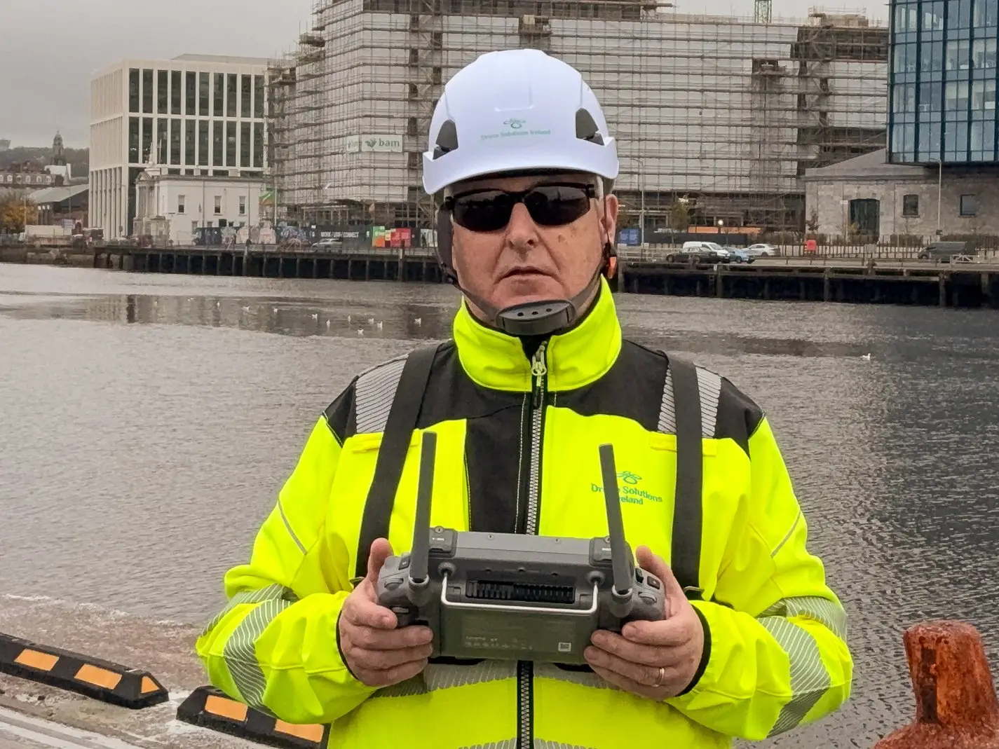
Meet the Founder
Richard Coleman
Richard founded Drone Solutions Ireland in 2016 after a career in civil engineering and a passion for aerial photography. With EASA STS-01 and STS-02 certification, he leads a team of qualified drone pilots operating the most advanced DJI Enterprise equipment in Ireland.
“We started with a single drone and a conviction that aerial data could transform how Irish industry works. Eight years and 500+ projects later, that conviction has never been stronger.”
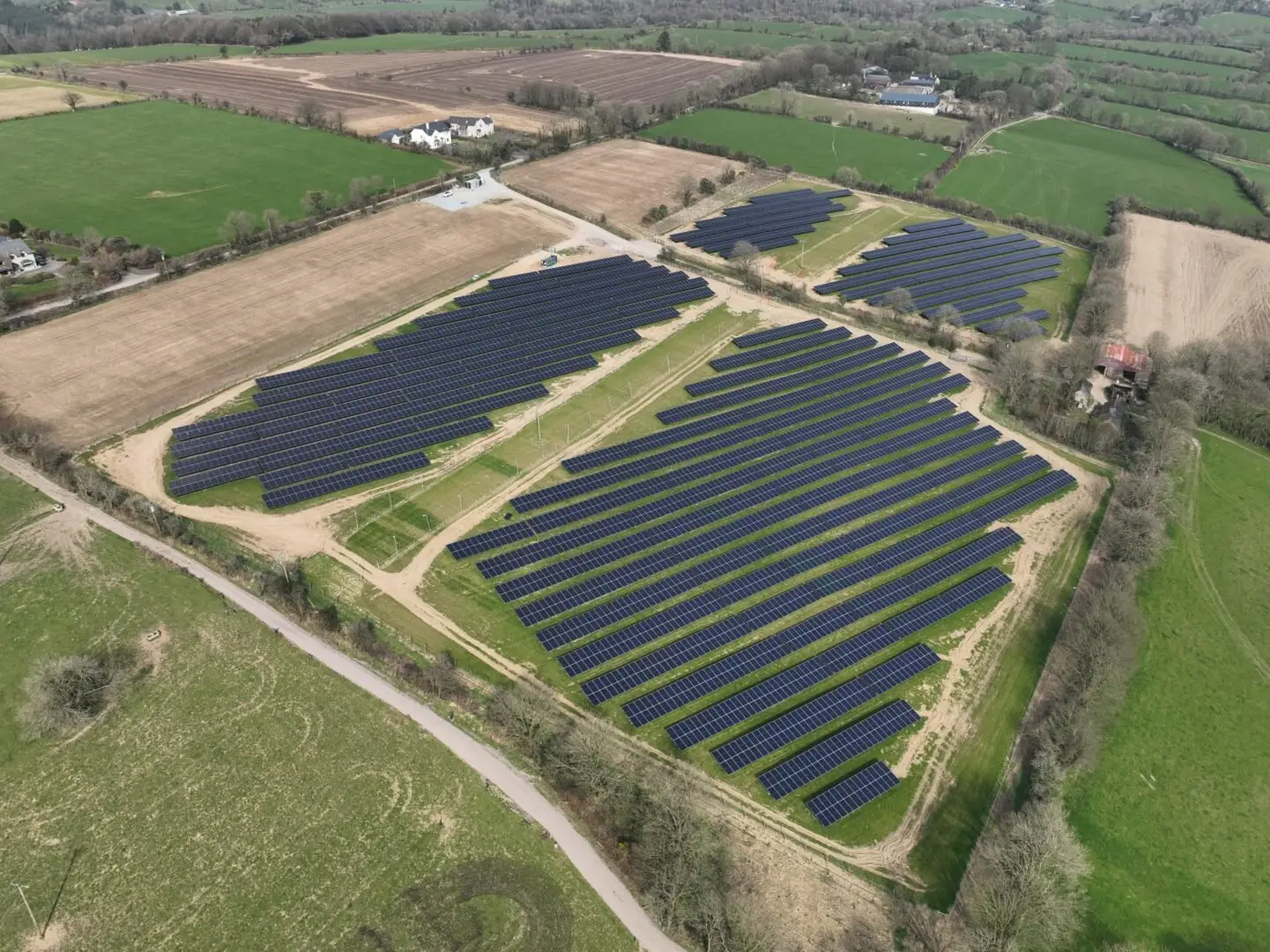
Our Fleet
Enterprise-Grade Equipment
We operate only the latest DJI Enterprise systems with Trimble GNSS — built for professional outcomes.

DJI Matrice 4T
4-in-1 sensor platform: visible camera, wide camera, thermal, and laser rangefinder. Our primary workhorse for inspections and surveys.
DJI Mavic 3 Enterprise
Lightweight precision mapping drone with Hasselblad camera and 5 multispectral sensors for agricultural and vegetation surveys.

DJI Zenmuse L2 LiDAR
Survey-grade LiDAR with 5-return capability, IMU, and RGB camera for centimetre-accurate 3D mapping.

Trimble R10 GNSS
Survey-grade GNSS receiver for establishing accurate ground control points — essential for sub-centimetre mapping accuracy.
Our Story
From Cork to Nationwide
Founded in Cork by Richard Coleman, initially focused on aerial photography.
Expanded into construction surveys and mapping. Acquired Matrice 200 platform.
Achieved first EASA authorisation and completed 100th project milestone.
Launched thermal inspection services. Completed first LiDAR mapping contract.
Insurance increased to €6.5M. Safe Pass certification for all operators.
DJI Enterprise Authorised Partner status. Acquired Matrice 4T fleet.
400th project milestone. Expanded nationwide with Dublin and Galway operations.
500+ projects. Market leader in Irish construction drone surveys.